Services
GCY, Inc. is capable of providing a full range of surveying services. Service is the key to our corporate success- this means going anywhere, surveying in any environment , and meeting any deadline, from small assignments to large projects. Our state-of-the-art equipment, and specialized all terrain vehicles, in conjunction with years of experience and extensive training allow us to provide accurate products in a timely fashion. Our experience and expertise include the following:
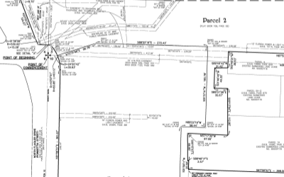
Boundary Surveys
GCY is well known for our exceptional due diligence in regards to investigation and protecting our clients' interests in land acquisition. Attention to detail and our understanding of title related issues have always been our hallmarks.
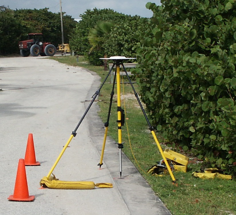
Topographic Surveys
A survey which has for its major purposes the determination of the configuration or relief of the surface of the earth and the location of natural and/or artificial objects located thereon. Elevations may be demonstrated graphically by mapping contour lines at various intervals.
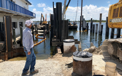
Construction Surveys
We can be on site in short notice to take care of an engineer or contractor's needs.
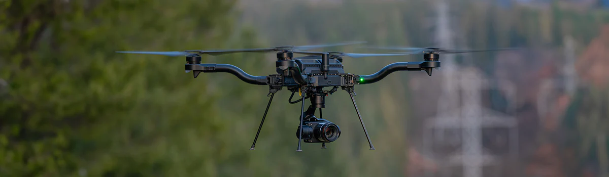
Drone Services
Equipped with HD Cameras and LIDAR.
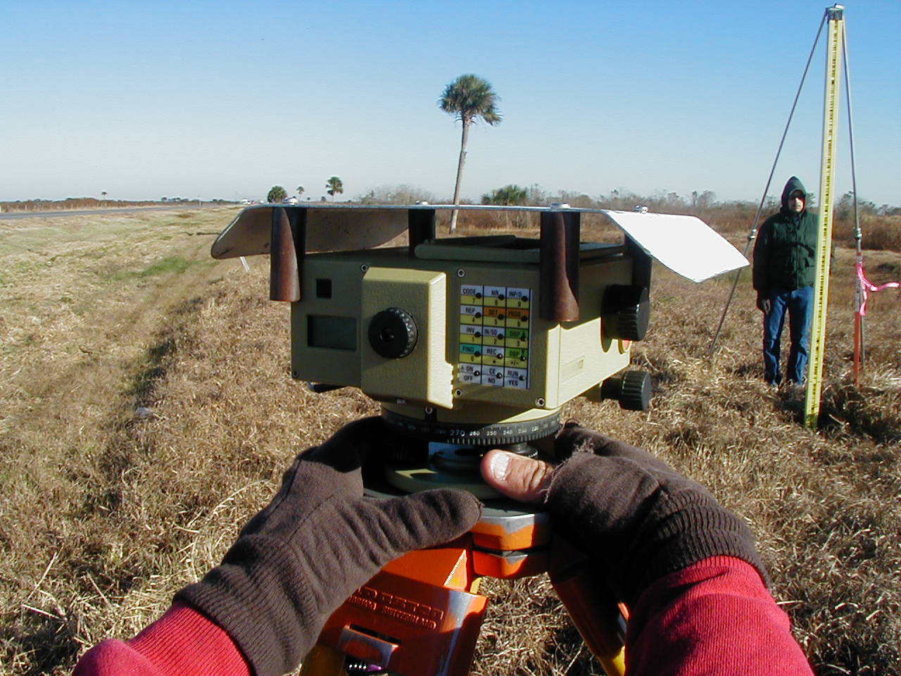
Geodetic Surveys
A Geodetic Survey is one that takes into account the curvature of the earth and is tied to the National Geodetic Survey (NGS) nationwide horizontal or vertical control networks. A Geodetic Survey can be used as local control for either Horizontal or Vertical positions and is established on a universal datum so that the positional results can be used by all. The resulting positions can be re-established by other technical users easily, therefore promulgating needed historic locations.
GPS Horizontal Network Control Surveys
Vertical Network Control Surveys
National Geodetic Survey adjustments for "Blue Book" which allows newly established control monuments to be entered into the National Geodetic Reference System (NGRS) database.
Expert Witness Services
The professional career of Mr. George C. (Chappy) Young, Jr., PSM has spanned over 53+ years. During this time, Mr. Young has been called upon to serve as an expert in the field of surveying for a documented 70+ survey related disputes. Many of these disputes resulted in depositions and actual court appearances. Most are settled out of court or before final judgement. These disputes include:
- Upland boundary legal challenge disputes between neighbors
- Interpretation of legal descriptions
- Suits against title companies for their failure to disclose public documents exceptions on the title policies
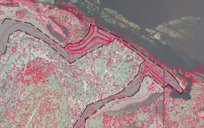
- Private claims regarding Sovereign Submerged Lands on navigable waters
- Riparian Rights of private canals and water bodies
- Riparian Rights on sovereign navigable waters regarding dockage and right to view
- Ownership disputes over Accreted Lands
- Construction disputes over quantities of excavated materials
- Consulting with other surveyors on similar disputes
- Sovereign Submerged Lands disputes
It is interesting to note that most of these Expert Witness Services over the last decade have been related to issues of Sovereign Submerged Lands and Riparian Rights.